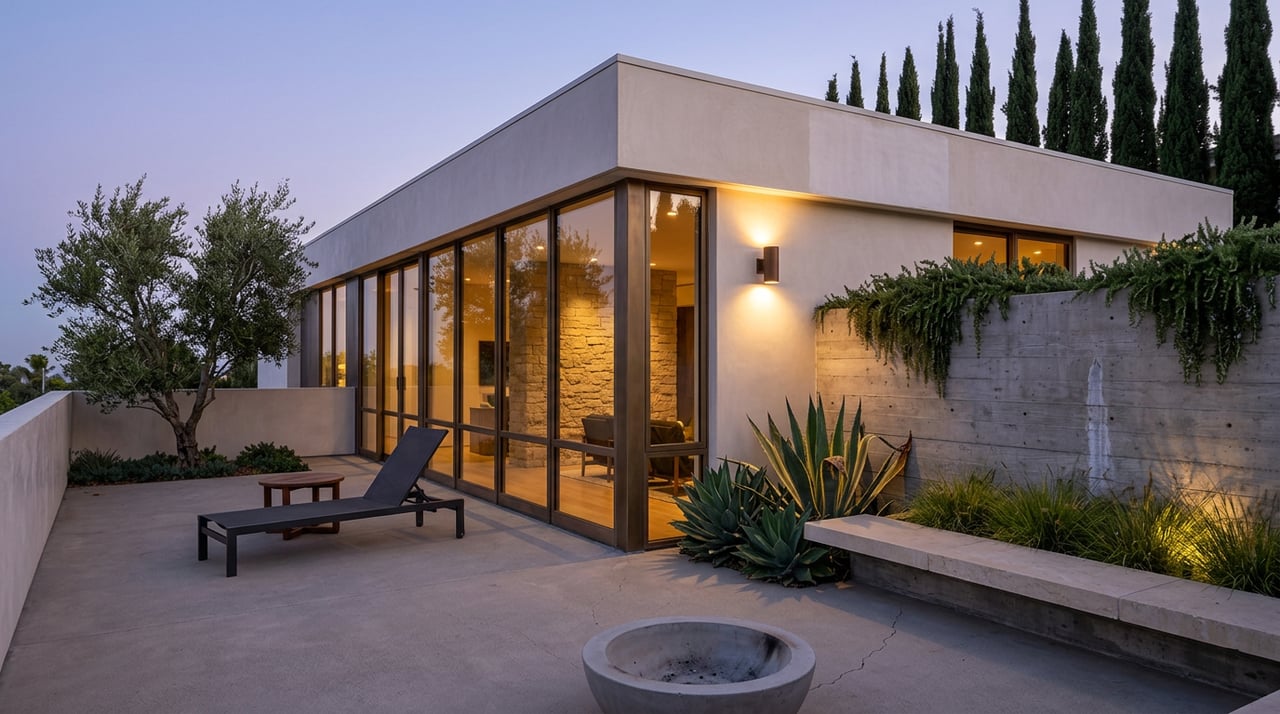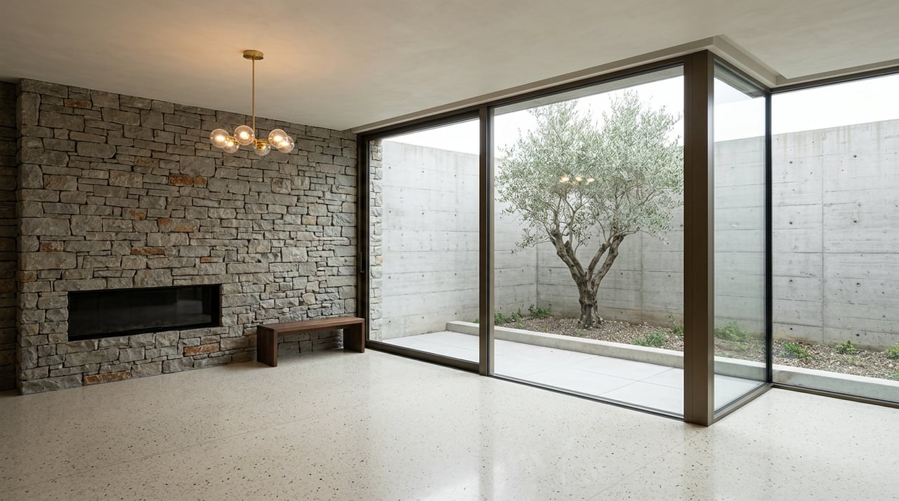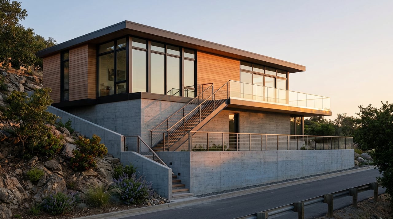
Two three-bedroom houses go on the market the same week, both in the Hollywood Hills, both close to 2,400 square feet, both quoting similar lot sizes on the listing sheet. One sells for $700 a square foot. The other closes north of $1,000. Nothing in the online listing explains the gap. The photos look comparable. The lot sizes are within a few hundred feet of each other. The difference isn't in what's built. It's in what's still legally buildable, and that number depends on a variable no portal search filters by: the average slope of the parcel.
That variable is why this year's headline market numbers for the Hollywood Hills look contradictory if you read them the way most buyers do.
The number that doesn't add up on its own
Redfin's tracking for the Hollywood Hills submarket in Los Angeles shows the median sale price over the three months ending June 2026 at $1.7 million, down 4.5 percent from the same period a year earlier. In the same window, the median price per square foot rose 10.6 percent to $837. Homes also sold faster, averaging 59 days on market compared with 67 days the year before, even as the count of homes sold dropped to 70 in June from 85 a year earlier.
Read those two numbers side by side and they seem to fight each other. If the market were simply softening, the price per square foot should be falling along with the median, not climbing double digits. A falling median and a rising per-foot rate usually means the mix of what's selling has changed, not that the neighborhood as a whole got cheaper or more expensive. Something is pulling smaller, better-positioned homes to the front of the sales pace while larger or more compromised ones sit or get discounted, and the price-per-foot figure is tracking a different, shrinking pool of comparable product.
The Baseline Hillside Ordinance is the mechanism that decides which homes belong in that shrinking, well-positioned pool.
What the city actually sells you when it sells "square footage"
Since 2011, floor area on hillside lots in the City of Los Angeles hasn't been calculated the way it is on a flat lot. Before that ordinance, a hillside parcel's maximum buildable area was simply three times its buildable area, the lot size minus required setbacks, with no adjustment for how steep the ground actually was. On a 5,000 square foot R1-zoned hillside lot, that formula allowed over 7,000 square feet of construction, not counting the garage, regardless of whether the lot was a gentle rise or a cliff face.
Ordinance No. 181,624 replaced that with a slope-based formula that's still the governing rule today, later amended in 2017 alongside the citywide Baseline Mansionization Ordinance. Under the current rule, a lot's buildable floor area is calculated in bands. Every portion of the parcel is measured for its slope, sorted into a slope band, and multiplied by a Floor Area Ratio that shrinks as the slope gets steeper. In the R1 zone, the FAR ranges from 0.50 on flat or gently sloped ground down toward 0.30 as slope increases, and any portion of a lot with a slope of 100 percent or greater gets an FAR of zero. That ground can't be built on at all under the formula, no matter how many square feet it adds to the deed.
| Slope band | Approximate R1 FAR | What it means on a 4,000 sq ft lot |
|---|---|---|
| 0-15% slope | 0.50 | Up to 2,000 sq ft of buildable floor area |
| 15-30% slope | Reduced incrementally | Meaningfully less than 2,000 sq ft |
| 30%+ slope | Reduced further, often 50% or more below flat-lot equivalent | A fraction of the flat-lot allowance |
| 100%+ slope | 0 | Unbuildable under the formula |
The city does guarantee a floor beneath this math. Even on the steepest qualifying lots, the R1 and RS zones carry a minimum residential floor area of 1,500 square feet, so the formula can't zero out a homeowner's ability to build something. But between that floor and the flat-lot ceiling, the same nominal lot size can carry radically different development rights depending on where its slope bands fall, and the ordinance layers in a second variable on top of slope: street width. A lot fronting a narrow, substandard hillside street can see its allowance adjusted differently than an identical lot on a wider road, which means two parcels with matching square footage on paper, on two different streets a few blocks apart, can carry different ceilings on what can legally be added.
Why this shows up hardest in the Bird Streets
Nowhere is the elevation-to-value relationship more visible than the Bird Streets, the cluster of hillside roads above the Sunset Strip named for songbirds: Robin Drive, Nightingale Drive, Oriole Drive, Blue Jay Way, Thrasher Avenue, Tanager Way, Swallow Drive. Access runs up from Sunset Boulevard by way of Doheny Drive, and the enclave's long-standing reputation is built on one simple fact: the higher up the hill a lot sits, the better the view and the steeper the price.
What that reputation leaves out is that elevation and slope aren't the same thing, and a parcel's position on the hill also determines which slope band applies to its buildable area. A Bird Streets lot with a gentler grade near its street frontage can carry more usable floor area than a similarly sized parcel a few doors down with a steeper drop, independent of which one has the better view. Buyers comparing listings by view and lot size alone are skipping the variable that determines whether the house they're buying can ever get bigger.
That distinction matters most at the top of the market. For a Bird Streets sale crossing into eight figures, Los Angeles's Measure ULA transfer tax is already a real line item, with thresholds that moved to $5.4 million and $10.9 million effective July 1, 2026, applying a 4 percent tax above the first threshold and 5.5 percent above the second, calculated on the full sale price rather than the gain. A buyer weighing whether a compromised-slope lot is worth its asking price should be running that math alongside the buildable area math, not after it.
The rule that almost got tighter this year
The BHO's slope formula hasn't been static, and 2026 brought a reminder that it can still move. A proposed amendment, sometimes referred to informally as a second wave of hillside restrictions, would have added a 50 percent lot coverage cap, a 45-foot maximum building height, tighter limits on grading above 100 percent slope, and new requirements around bird-safe glazing and wildlife-permeable fencing, with an initial pilot area covering hillside communities between the 405 and 101 freeways, including Laurel Canyon, the Hollywood Hills, and parts of Beverly Crest, Sherman Oaks, and Studio City.
As of mid-2026, that proposal has stalled. No final hearing has been scheduled, and the underlying council file, CF 14-0518, remains open with a November 15, 2026 expiration date, after which it would need to be formally reactivated to move forward again. Nothing currently in force changes the slope band math described above, but the file being alive at all is a sign that the calculus buyers are using to size up a hillside lot today is not guaranteed to be the calculus that applies in two years.
What to actually confirm before comparing two listings
A listing sheet will tell you lot size, house size, and often nothing else useful about development rights. Before treating two Hollywood Hills addresses as comparable on a price-per-square-foot basis, it's worth confirming:
- The lot's slope category and whether any portion falls in a steeper band that would reduce its FAR
- The street classification, since a substandard hillside street can change the buildable allowance independent of slope
- Whether a recorded building envelope exists on the parcel that further restricts where structures can sit
- Whether the 20 percent floor area bonus available under certain design options, such as a stepped-back front facade or a minimal grading approach, has already been used or remains available
- Whether the property falls within the BHO's mapped hillside area at all, since not every hillside-feeling lot in neighborhoods like Beachwood Canyon, Mount Olympus, or Outpost Estates is mapped that way, and status is determined parcel by parcel through the city's planning department
None of this shows up in a portal search filter. It shows up in a slope analysis map and a conversation with someone who reads them regularly.
A short FAQ
Does a bigger lot always mean more buildable floor area in the Hollywood Hills? Not necessarily. A larger lot with a higher percentage of steep slope bands can carry less buildable floor area than a smaller, flatter lot, because the FAR applied to each slope band shrinks as the slope increases.
Is the Baseline Hillside Ordinance the same everywhere in the hills? The core formula applies citywide to mapped hillside areas, but the specific slope band boundaries and street width adjustments are calculated parcel by parcel, so a formula that applies correctly on one Hollywood Hills street shouldn't be assumed to transfer to a neighboring canyon without independent verification.
Could the rules change again soon? A more restrictive amendment was proposed in 2026 and has since stalled without a scheduled hearing, but the council file remains open until November 15, 2026, and could be revived. The version of the BHO in force today is the one adopted in 2011 and amended in 2017.
If you're comparing Hollywood Hills addresses and want a read on what a specific lot's slope actually allows before you write an offer, Michael Druker can walk through the parcel-specific numbers with you. Explore listings or schedule a consultation.